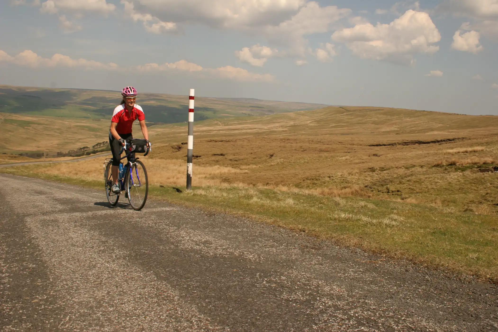
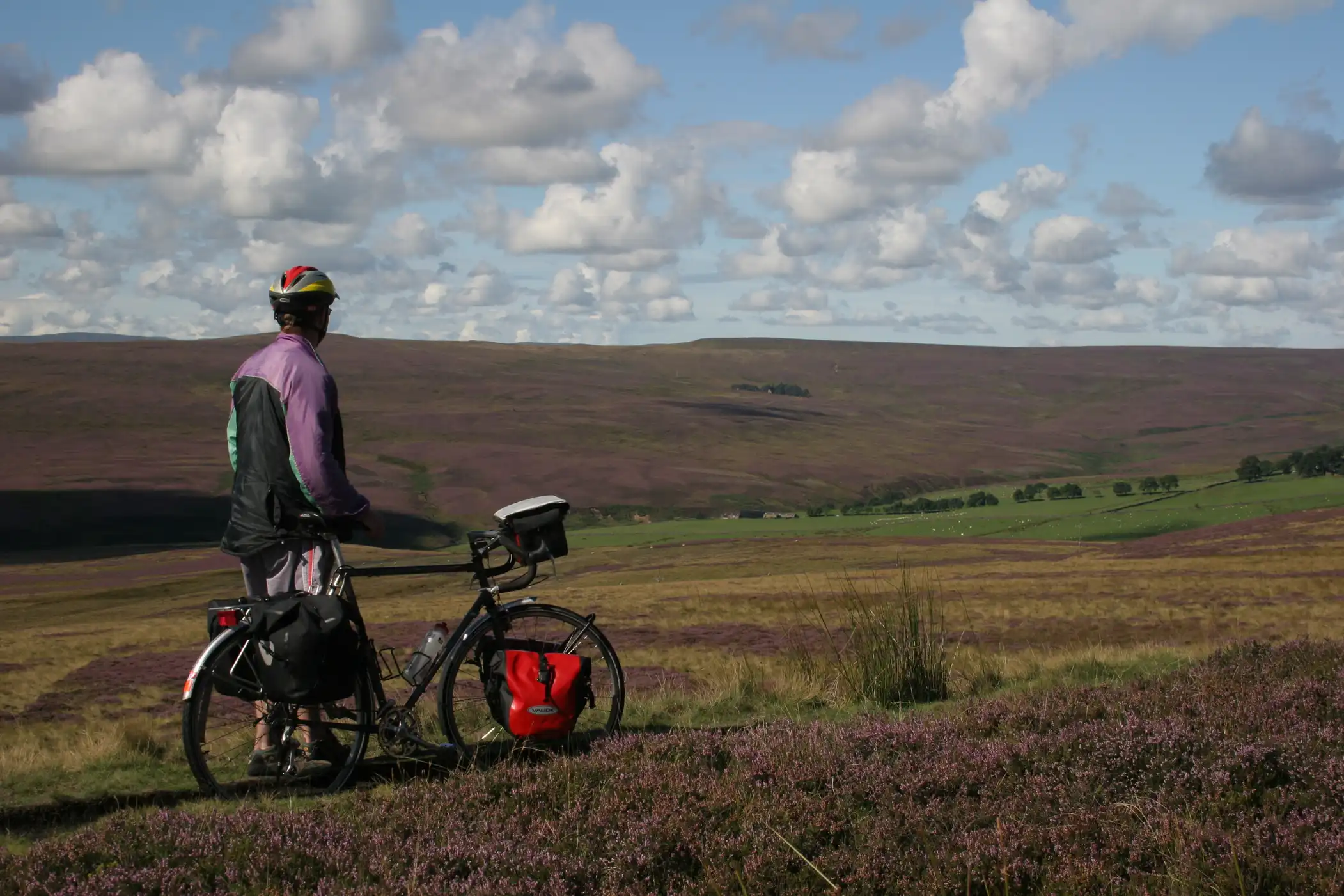
Cycling
The North Pennines is a favourite destination for many cyclists due to our fantastic network of lanes and quiet roads that stretch right across the North Pennines National Landscape taking in the highest roads in England.
There are some tough challenges if that’s the sort of cycling you like, but the area also offers gentle lanes with fantastic views.
There are some suggested routes below which is offered in good faith, but please be aware we have not tested or updated the routes, some of which can be very challenging and should only be tackled by experienced cyclists. It is your responsibility to ensure you and your bike are in good order before setting off.
The cycle routes from around Stanhope all start from the Durham Dales Centre and were provided by Dave ‘Papa’ King, who devised these routes.
C2C cycling
140 mile challenge
The Coast to Coast or Sea to Sea Cycle Route (C2C) is a 140 miles (230 km) cycle route from St Bees on the west coast of Cumbia to the North Sea at Sunderland or Tynemouth. Although a challenge with some hard climbs – the highest point being over 2,000 feet (610 m) – the C2C is completed by an average of between 12,800 and 15,000 cyclists every year. Although it has been completed in one day it is designed for the whole range of cyclists, from families to cycle club riders and most take three to five days with overnight stops on the way.
The C2C from St. Bees in Cumbria to Tyneside in Northumberland now offers an alternative route through Weardale plus Wiggo’s Way through Stanhope. C2C cycle route offers a very challenging ride with the most spectacular views as it crosses Weardale. For more information and a list of accommodation on the route visit the C2C Guide website. After the hard climbs through the Pennines, Weardale is an ideal pit stop.
Family Cycling
Quiet country roads and miles of easily accessible off road cycle ways make Weardale a mecca for cyclists.
The unspoilt, uncrowded network of B and C roads offer a wide range of experiences covering leisurely family bike rides / steep hill climbs and invigorating downhill rides / circular routes from 10 (16km) to 24 miles (39km)
Hamsterley Forest offers some of the best off road cycling in the country with woodland rides in the 5000 acres (2000 hectares) forest.
Or explore the C2C off road moorland section between Rookhope and Rowley on what used to be the highest standard gauge railway in the country.
This map shows the classification of roads within the Weardale area as a guide for cyclists who may want to use the quieter minor roads for leisurely cycling with their family.
USE THE GREEN ROADS TO EXPLORE WEARDALE BY BIKE.
RED : The A689 is the only A road and it runs the length of Weardale. It is a busy main road and often carries heavy vehicles. The western stretch between Frosterley and Alston is often narrow and winding with poor visibility. It is not a safe route for family cycling.
BLACK: These are classed as B roads and are numbered. They carry less traffic than the A689.
GREEN: These are metalled, but minor unclassified roads and usually carry little traffic. However cyclists should take care as these roads are narrow, winding and they may carry large farm traffic and service vehicles. Riders on horseback may also use these routes.
PURPLE: These are off-road sections of the C2C cycle track which follow an old railway line across moorland and are mostly gentle gradients. They are sometimes closed for gamekeeping reasons.
NO COLOUR: These may be private roads to farms, service roads or unmetalled bridlepaths and byways.
GRADIENTS: This is hilly country so expect steep hills where you might have to get off your bike and push, but the high minor roads often offer rewarding views across the valley. BE AWARE that the steep downhill stretches can be dangerous.